Jan 27, 2015
Great retrospective on 100 years of National Geographic map making.
100 Years of National Geographic Maps: The Art and Science of Where
Since 1915, National Geographic cartographers have charted earth, seas, and skies in maps capable of evoking dreams.
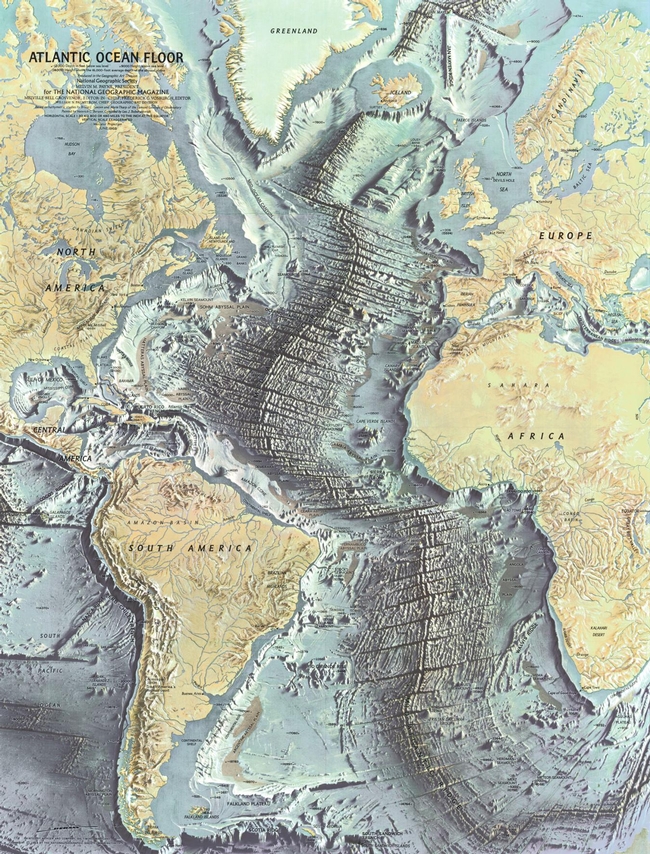
This beaut on the right is from 1968 of the ocean floor. The article says: " Based on the work of geophysicists Bruce Heezen and Marie Tharp, this 1968 map of the ocean floor helped bring the concept of plate tectonics to a wide audience. Tharp began plotting the depths in 1950 from soundings taken by ships in the Atlantic, but, as a woman, wasn't allowed on the ships herself. In 1978 she was awarded the Society's Hubbard Medal for her pioneering research."
