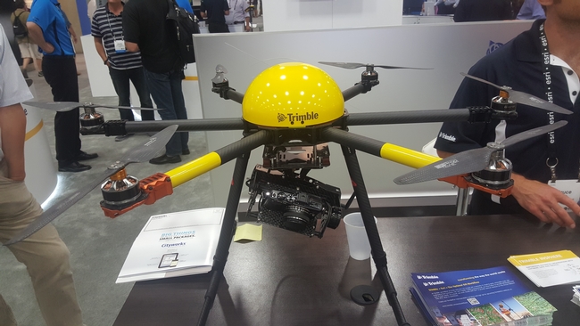
One of the potentially more exciting bits of news coming out of this year's ESRI User's Conference is that ESRI will soon be releasing an app for processing imagery collected by unmanned aerial systems (UAS). With this app you reportedly will be able to georegister and mosaic image collections, as well as generate highly accurate digital terrain models (DTMs) with automated photogrammetric processing. Like most of ESRI's other products, this app will fully integrate with ArcGIS's desktop and online platforms, which should considerably enhance typical processing workflows. Previously this type of app has been one of the most cost prohibitive barriers for UAS users. However, hopefully ESRI's new app will be provided at a lower price point than the other excellent (but expensive) software packages currently available on the market, such as Pix4D and Agisoft. Only time will tell how this burgeoning sphere of technology will progress.
Attached Images:
