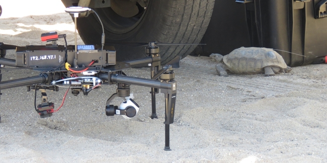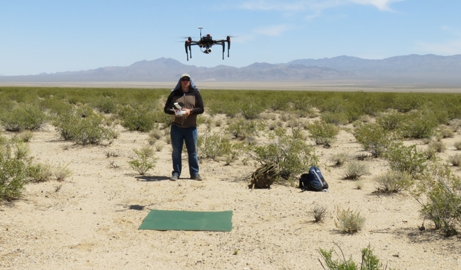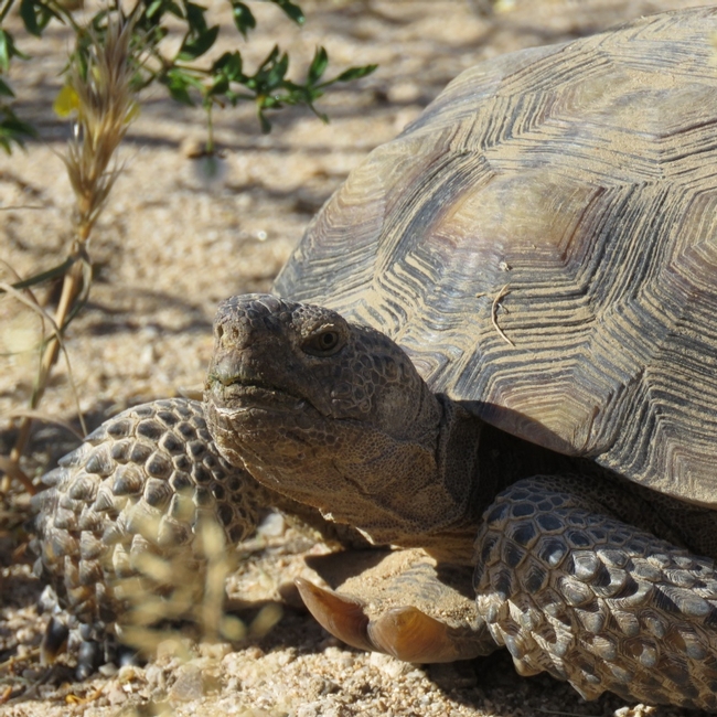
The drone data will be used to create fine resolution vegetation and elevation maps, as part of a desert tortoise research project led by Dr. Brian Todd in the Dept. of Wildlife, Fish, and Conservation Biology at UC Davis. The study seeks to better understand how the threatened desert tortoise navigates in its landscape, which will help biologists and land managers responsible for protecting the desert tortoise make management decisions, such as where to place road fences that don't cut off important resources for this long-lived species. Researchers on this project track the tortoises with GPS and temperature sensors, which they will now be able to overlay on the highly detailed maps of the desert generated from the drone imagery.
How does the desert look to a tortoise?
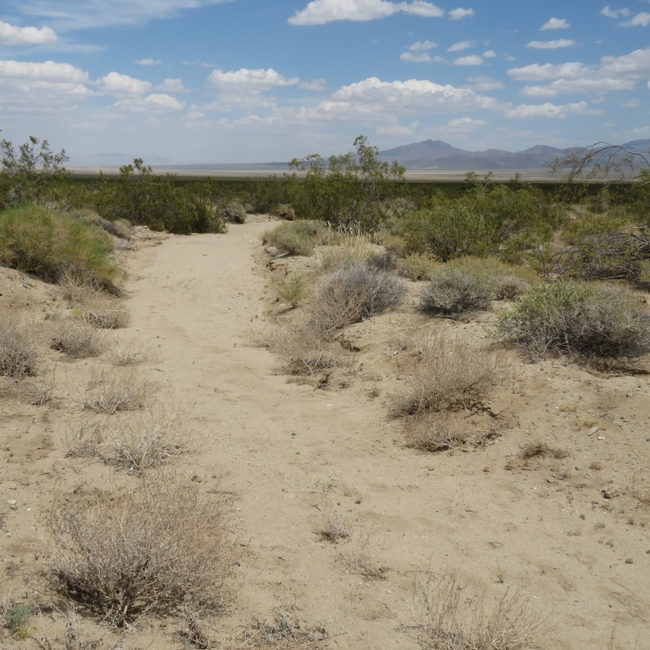
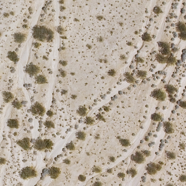
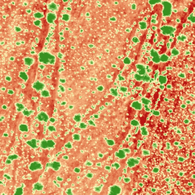
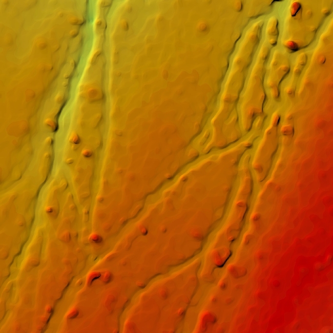
A Large Study Area
The study area is approximately 3600 acres, which is extremely large for a drone. We mapped the area in two trips in 2016 and 2017, with significant improvements to our mapping methods in between.
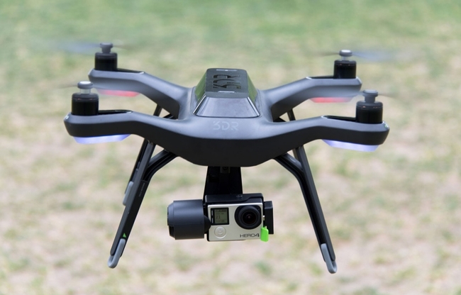
The Solo+GoPro combo worked well, but the flight time of the Solo, its mediocre GPS receiver, and the lack of an integrated GPS module in the GoPro were limiting factors that required more time for both flying and processing the data.
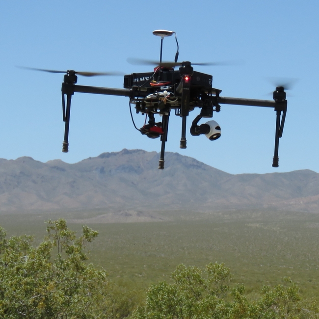
New Drone Platform for 2017
Lessons Learned
Some lessons learned for mapping large areas include:
- Mapping large areas with a quadcopter is viable with careful planning
- The Matrice 100 is large enough has enough power to fly 100 acre flights with two cameras on board with two batteries and calm winds
- Heat can dramatically reduce flight time because the air is thinner and equipment less efficient
- Checking your data in the field and having backup plans for weather and equipment glitches are essential
- Having two or more people on the flight crew helps tremendously
- Developing individual mission plans before going to the field reduces time between flights and hence illumination differences between adjacent areas
- The dessert tortoise is a charismatic creature with amazing adaptations, and a great curiosity about the research equipment we were setting up alongside the road:
