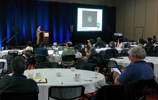
Last week we enjoyed attending the CalGIS 2017 conference in Oakland. This year the meeting was co-hosted with LocationCon, so it was larger than usual and had a good mix of participants from government, non-profits, academic and consulting companies. As expected there were a lot of people from California, but we also met a lot of people from other parts of the US.
The first day of the conference was devoted to workshops, and IGIS gave a half-day version of our workshop on drone technology and data analysis. This was well attended, and one of several sessions focused on drone technology. For us, this was also more preparation for our upcoming Dronecamp at the end of July.
The following day, Andy gave a presentation on some of the issues for scaling up drone capacity within a specific institutional setting like ANR. We discussed some of the issues we've been dealing with, including matching the scale of the data to the scale of science and management questions, outreach and training, regulatory compliance, and tailoring off-the-shelf technology for specific applications and contexts. The Q&A period highlighted a number of common challenges facing many organizations striving to take advantage of drone technology. One of the most common needs is developing institutional level policies to ensure safety and compliance with a dynamic array of federal, state, and local regulations. This discussion reminded us how fortunate ANR is to be backed by the UC Center of Excellence on Unmanned Aircraft System Safety, because many local agencies and public utilities are still trying to figure it out.
Another common theme that came up was management of the massive amount of data that drones can collect, and how to share and find drone data. Managing drone data is challenging because of the sheer volume of data. This makes many traditional strategies platforms unworkable and even cloud based solutions difficult to use because of long transfer times. Like many programs, we started managing drone data by adapting existing tools and established practices from other fields like GIS and remote sensing, which we have been refining as we learn more and as our drone service program grows to include more people and projects. We recently started documenting our data management system in a recent Tech Note (more about that in an upcoming blog), and are currently exploring a new online platform for dissemination in collaboration with ESRI (stay tuned for more info about that also). What became clear at the conference however is that the tools and platforms for drone data management are still catching up, and we have a long way to go before we can reach the capabilities of portals for more traditional GIS data, such as the State of CA Geoportal or even the National Map.
Other highlights from the conference were the many excellent talks, including presentations on using drones to create a very precise digital elevation model of a wetland restoration site, techniques for machine learning classification of aerial imagery, and the US Forest Service's system-wide database called EDW. We also heard about some of the exciting new features of Cal-Adapt, including an API that will dramatically simplify the process of creating decision support tools and other applications that require downscaled climate forecasts. Many of the presentations are available through the conference website, all of which are well worth checking out.
