It's amazing how quickly 2017 flew by. The dominant theme of current events this year seemed to be that of change, and not always for the better. But as the news cycle spins faster and faster, we in IGIS continued to focus on the long wave of progress, building bridges between ANR's research and extension mission and the super-exciting developments in geospatial technologies and data. Our year was extremely busy. A few of the big highlights are below.
Strategic Planning. We started out 2017 winding up an internal strategic planning process we began in 2016. After numerous discussions, reflections, and iterations, the result was a draft Strategic Plan for our program based around five core goals.
- Provide GIS training and support services across the ANR continuum and program implementation cycle
- Expand ANR's capacity for drone research and applications
- Strengthen collaborations within ANR, UC, and beyond
- Be a bridge for ANR to access cutting-edge geospatial data, tools, science, and research
- Sustain and develop ANR's flux tower network
Our Strategic Planning will continue in 2018 so we can incorporate the key recommendations from our Five-Year Program Review.
Five-Year Program Review. 2017 marked our Program's fifth anniversary (talk about time flying!), hence it was time for our Five-Year Review. This was a welcome opportunity as a lot has changed since IGIS was established in 2012, and we needed to assess what we've achieved and where we need to focus moving forward. The Review started with a presentation by Maggi Kelly to Program Council in January 2017, and concluded eleven months later in December 2017 with a presentation by Committee Chair Michael Cahn on the Review's key findings and recommendations. In between were numerous information requests from the Review Committee, an extremely interesting Ripple Effect Mapping stakeholder exercise in June, and a lot of behind the scenes work by the Review Committee including meetings, surveys, phone interviews, and writing. We are enormously grateful to all the members of the Review Committee, Michael Cahn for chairing the process, Jennifer Caron-Sale for coordinating everything, and all of the stakeholders who provided input through surveys, meetings, and interviews. We are looking forward to hearing the final recommendations by Program Council and Vice President Humiston early next year, and have already started to implement many of the draft recommendations. We want to use this information to make IGIS more effective and useful in the future.
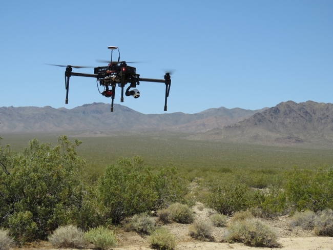
Drone mapping the Mojave dessert,
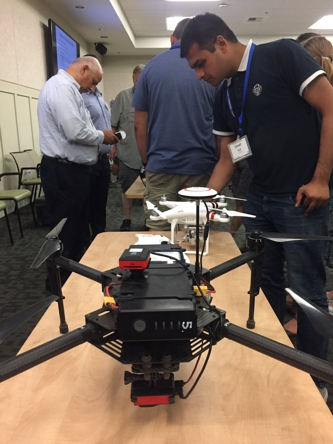
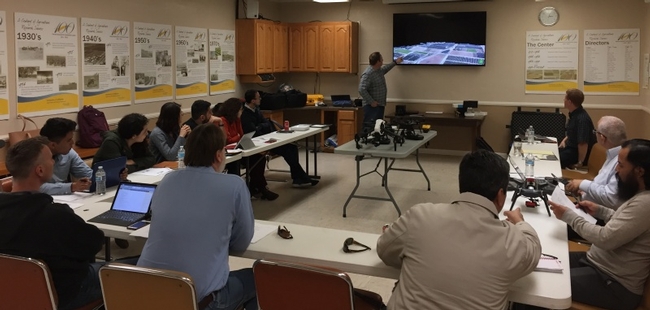
DroneCamp 2017. Another ambitious undertaking this year was our inaugural offering of a multi-day workshop called DroneCamp. We've been doing one-day drone workshops for awhile now, but the three-day DroneCamp was designed to give participants exposure to the full range of skills needed to collect data with drones safely, legally, and effectively. 36 participants from all over California and as far away as Hawaii came to Davis for three intensive days at the end of July. The curricula included a wide range of topics from mission planning, to flight operations, to visualizing the processed data. It was a huge amount of work but very successful and we've enjoy staying in touch with everyone through the new California Drone Mapping email list we launched in August. Watch this space for an announcement about DroneCamp 2018!
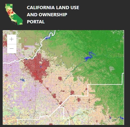
CA Land Use and Ownership Portal
Workshops. Our workshop calendar filled up quickly. Aside from DroneCamp, we held 7 workshops on drones, 4 workshops on GIS and mobile data collection, 2 remote sensing workshops, and one workshop on spatial analysis with R. These were held all over the state in collaboration with more hosts than ever before, including RECs, UCCE offices, 3 UC campuses, and for the first time ever a private aerial imaging company. In-person workshops are a lot of effort, but we enjoy doing them and many spin-off projects have come out workshop conversations. Our workshops are complemented by an increasing number of resources on our website, including Tech Notes on important workflows and a growing number of videos on our YouTube channel. In 2018 look for a new training needs assessment that will help us continue to meet the professional development needs of the Division.
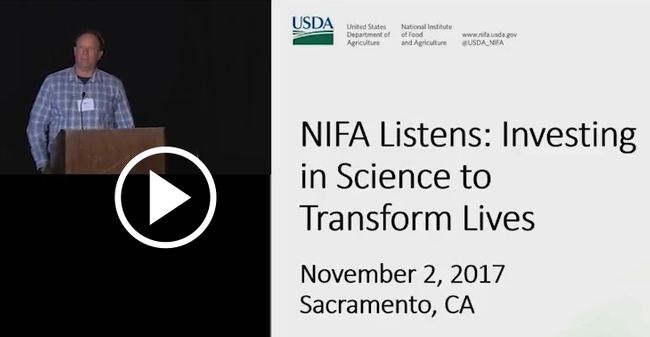
Sean Hogan testifies at a NIFA Listening Session, Sacramento
Looking ahead to 2018. In 2018, we are looking forward to incorporating the recommendations from our Program Review and completing our Strategic Plan. A big theme for 2018 will be finding more and better ways to connect with and stay in touch with all parts of ANR, and expand the reach of our small staff. We already have a number of new projects in the pipeline that will keep everyone busy, in addition to the usual portfolio of ongoing GIS support, workshops and drone services. Our research work will continue tackling some of the big technical bottlenecks in working with drone data, including data management, image processing, and extracting more juice from the high resolution 3D data. We're all going to the Statewide Conference in April and will be taking part in several sessions - see you in Ontario!
Happy New Year everyone from us at IGIS and ANR.
