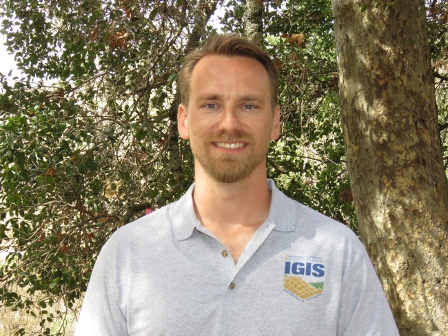
IGIS is thrilled to welcome Jacob Flanagan to our team. Jacob will be with IGIS through the end of June 2018 as a Drone Technician and Data Analyst.
Jacob comes to IGIS with a broad background in UAV technology, GIS, computer science, and remote sensing. Prior to joining IGIS, Jacob worked with GreenValley Int'l, where he spent several years designing and developing application software for LiDAR data, spatial databases, technical documentation, and user support.
This is not the first time we've had the fortune to work with Jacob. Those of you who have attended some of our drone workshops may remember his demos of an 'octocopter' drone, large enough to carry a heavy LiDAR sensor. He was also a presenter and flight instructor at the 2017 DroneCamp, and has been involved in drone mapping missions at the Hopland REC.
Jacob joins the rest of the IGIS team as our latest FAA certified UAS pilot, and will be involved in a number of research and extension projects. Please say hi to him if you run into him in the ANR building, our next DroneCamp in San Diego, or somewhere in a field looking up at the sky with a drone controller.
Contributor - Director, Statewide IGIS Program, Professor and Cooperative Extension Specialist
