
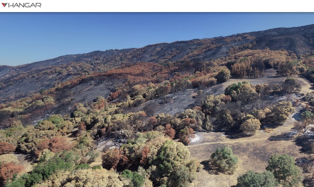
The River Fire began July 27, 2018 at 1pm on Old River Road in Hopland. By the evening it had spread, and was threatening numerous buildings in the area. We have a ANR Research and Extension Center (HREC) there, and Shane Feirer from IGIS lives and works here. Evacuations were ordered quickly, and down in the bay area we all held our breath hoping the fire wouldn’t harm people or animals or consume the HREC buildings. By the time it was contained (as part of the Mendocino Complex), it had burned 48,920 acres. We’ve been flying drones over HREC for awhile, and the last month we did more drone flights to map the post-fire landscape. We flew some Hangar 360 flights with a DJI Phantom to get some sweet overviews of the scene (example1, example2, example3), and flew much of the area with our eBee on the first mission and Matrices on the second mission with both multispectral and RGB cameras.
These pics below compare the eBee imagery (2cm) with Planet imagery (3m).


These are pics of the eBee (far left) and the Matrice (far right) getting ready to fly into the blackened landscape, and some snaps from the Hanger pics.


