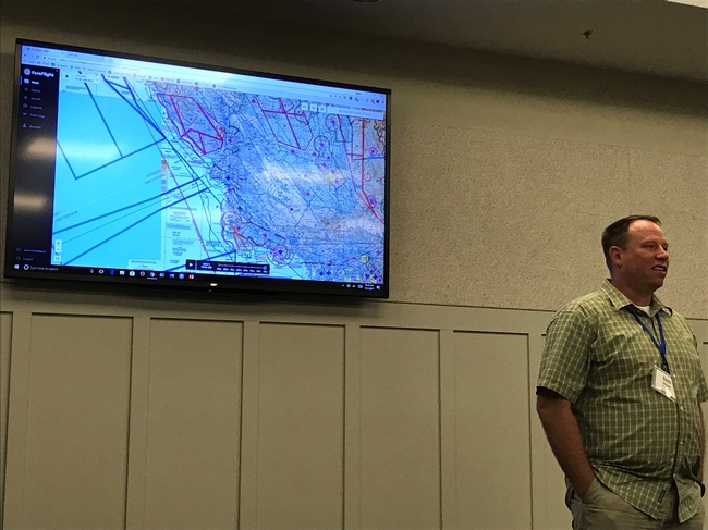
Last week IGIS was very pleased to partner with CERES Imaging Inc. (http://www.ceresimaging.net/) to provide a workshop on GIS and Remote Sensing for Crop Agriculture, in Davis CA. This particular event represents an example of how UC ANR's IGIS Program is working with private industries to better deliver valuable services (in this case training) to public audiences who are eager to put the services/information into action; reinforcing UC ANR's priorities of public service and Cooperative Extension.
This event was partially funded by a Department of Water Resources (DWR) grant to CERES, which among other things has helped CERES to provide very affordable, high resolution, multi-spectral, thermal and NDVI data to agriculturalists around California. The objective of the DWR funding was to help facilitate more agile farming practices for water conservation, through the adoption of newly available aerial image products, while introducing farmers to contemporary image processing and mapping methods. By partnering with CERES in this effort, IGIS is helping farmers to better utilize CERES's image products, to ideally make their operations more efficient and profitable.
