Hot on the heels of a very successful three-day DroneCamp workshop, IGIS has launched a new email list for people interested in using drones for mapping and data collection.
Drone Mapping California is a moderated email list intended to share news, information, and questions about using drones for mapping and data collection. That covers a lot - technology, training, regulations, hardware, software, analytical techniques, etc. We hope this list will be a channel through which new and seasoned drone operators and researchers can share and grow their knowledge and expertise.
The list has a California focus, but all are welcome. If you are interested in collecting data with drones, please subscribe here! IGIS will administer the list for the foreseeable future, including moderating messages to prevent spam, but we are always open to comments and suggestions.
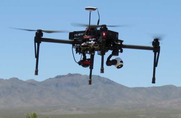
Top: Matrice 100 with dual RGB and multispectral sensors
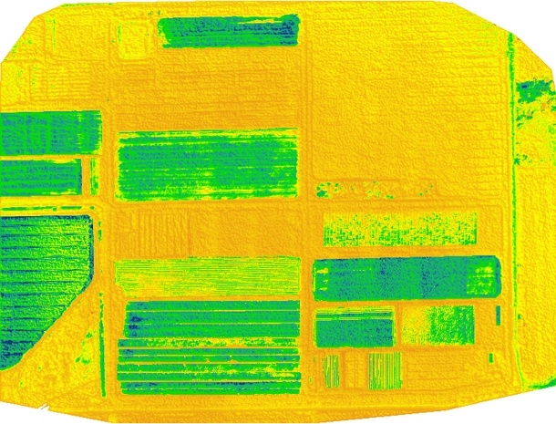
Bottom: mNDGI image of a field at Desert Research and Extension Center
Photos by Sean Hogan

