Aug 27, 2017
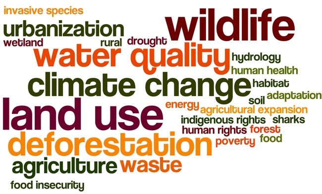
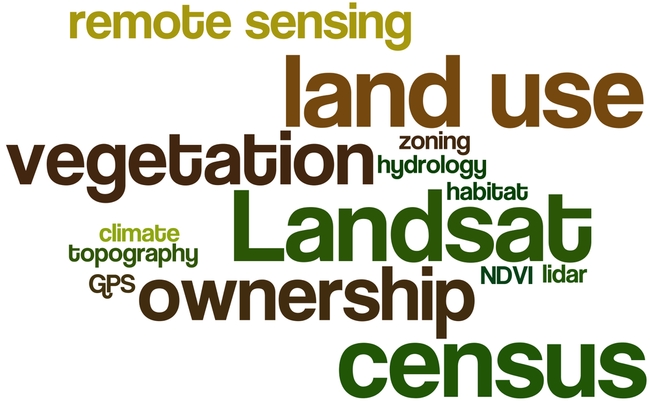
Every fall I ask my GIS students to answer the big questions in advance of their class projects. This year climate change, wildlife conservation, land use and water quality are important, as well as a number of other topics. Remote sensing continues to be important to GISers. Scientists, government and communities need to work together to solve problems.
Why?
- What does the proposed project hope to accomplish?
- What is the problem that needs to be addressed?
- What do you expect to happen?
How?
- What analysis approach will be used?
- Why was this approach selected?
- What are alternative methods?
- Is the analysis reproducible?
What?
- What are the datasets that are needed?
- Where will they come from?
- Have you downloaded and checked this dataset?
- Do you have a backup dataset?
Who?
- Who will care about this? And why?
- How will they use the results?
- Will they be involved in the entire workflow?
Here are the responses from Fall 2017:


