2020: DroneCamp Goes Virtual

ONLINE
In June 2020, IGIS hosted the 4th annual DroneCamp in collaboration with CSU Monterey Bay, the UC Unmanned Aircraft System Safety office, and Monterey Bay DART. The four-day intensive bootcamp aims to cover the full spectrum of skills and tools needed to collect data and make maps with drones.
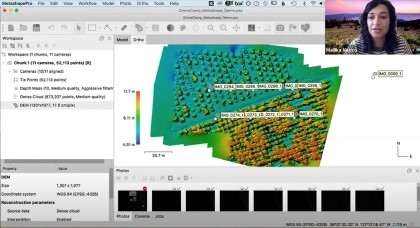
Due to COVID19, DroneCamp 2020 was held entirely online. We couldn't teach flight practice over Zoom, but other than that the curriculum covered the usual suite of topics including regulations and safety, equipment, flight planning, photogrammetry, and data analysis.
The online format wasn't nearly as fun as meeting in person at CSU Monterey Bay, but it produced some unexpected benefits. Over 330 people attended the program from all over the US, Canada and several other countries. Attendees came from a wide range of backgrounds including education, natural resource management, resource conservation, agriculture, real estate, construction, and archeology.
The pool of presenters and instructors also diversified both geographically and programmatically. Instructors came from several universities across California and beyond, and an expanded set of research talks covered a range of topics including workforce development, coastal and marine systems, and digital agriculture.
Session Recordings Now on YouTube!

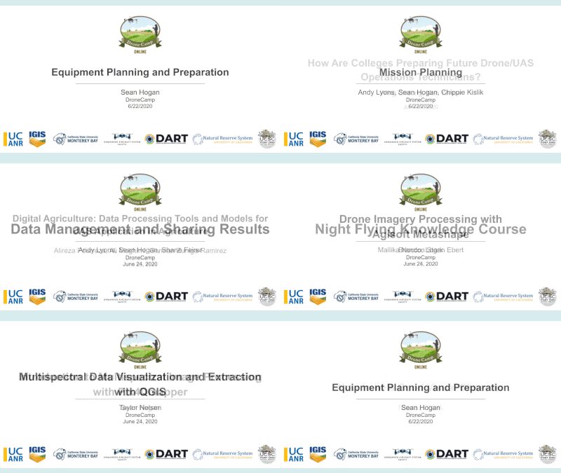
You can access the sessions via the DroneCamp Online Program, or the DroneCamp 2020 Playlist on the IGIS YouTube Channel. The Online Program also contain links to presentation slides, exercise handouts, and datasets.

Organizing and editing all the videos for production was no small feat, and the DroneCamp team is excited to make these resource materials accessible to everyone who would like to learn more about the world of UAV technology. If you find them useful, or would like to get involved in future training on drone mapping, please leave a comment or send us a note.
Many Thanks
IGIS would like to extend their gratitude to the many collaborators who made this years online conference possible: UC ANR Program Support Unit; UC ANR Integrated Pest Management program, UC ANR Learning & Development unit; Wilder Interpreting Services; Monterey Bay DART; the FAA Collegiate Training Initiative; and, of course, all our instructors, presenters, and participants. Thanks!