We bring you stories from DroneCamp 2024, now in its 8th year and wrapping up a successful week at CSU Monterey Bay.

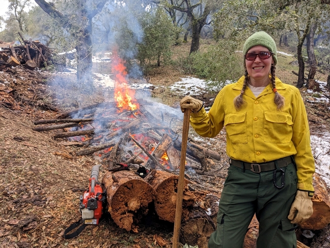
“The goals of a prescribed burn are to reduce fuel load as much as you can, improve habitat and work with private landowners. I am especially excited to learn about drones equipped with thermal cameras to study fuel moisture and study ignition pattern of fires”, she said. Barb is hoping to learn object detection methods that can be used to process the imagery collected from drones and facilitate prescribed burns.
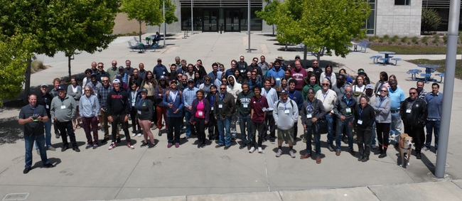
Hosted at California State University Monterey Bay Campus, this year's DroneCamp, now in its eighth year, leveraged upon the combined expertise of several UCs, CSU, and community colleges. It pooled together 29 instructors from CSU Monterey Bay, UC ANR, UC Merced, UC Santa Cruz, UC Berkeley, UC Los Angeles, Lakeland Community College, and American River College. The instructors bring deep expertise in drone hardware, flying, and processing imagery collected through drones.

80 participants , mostly from California , attend the in-person event in Montery, with another 43 participants who attended virtually. While the virtual participants get access to almost all the sessions that in-person participants get, they miss the most exciting part --- which is learning to fly drones.

“After attending the DroneCamp, I can help farmers collect and report their data better to the funders. I am excited to work with farmers to assess changes in biomass production over time to see how well the plants grew after the grant. We can also take pictures of the field to see whether all the plants are getting uniform water. Depending on where the plants are in relation to the pumps, some may get too much or too little water. We can use drones to see whether the irrigation system is uniform.”
Another application Ana is interested in is assessing the effectiveness of cover crops on farmland. Cover crops are crops planted between cash crops that provide various benefits and keep the land from being fallow. “We can use drones to compare different cover crops and how they perform to control weeds in fields”.
When asked how confident Ana feels about undertaking projects independently using drones in her work, she said, “DroneCamp gave me the connections I need to reach out to experts when I work on my own project”.

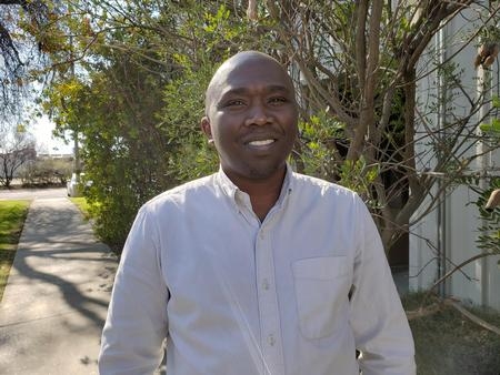
After attending DroneCamp, he feels he has attained basic skills and knowledge needed to fly a drone over an orchard, and ideas on how to use drone data to assess crop response to irrigation in a field.”
Tobias says, although satellite-based remote sensing is currently used to estimate how much water is by used by crops, there are still some questions regarding their accuracy. These are questions that researchers in the field are working on answering.
He notes: “Considering drones work on a field scale, it could help potentially refine the accuracy that we do not get from other remote sensing platforms.
DroneCamp also drew students from various universities who have taken some GIS training at their academic institutions, but not in mapping with drones. Manjot Singh, a student in plant science and agriculture from Fresno State University says, “I can get introductory and advanced GIS courses at my university, but there is no drone related course being offered”. May be this will help me if I pursue a PhD or make me marketable in future jobs”.