To support broad participation for next month's DroneCamp in Monterey, IGIS has launched the DroneCamp Scholarship Program. DroneCamp is an intensive three-day workshop that covers everything one needs to know to use drones for mapping and data collection. The Scholarship Program is aimed at defraying the cost of participation for students, non-profits and under-represented communities.
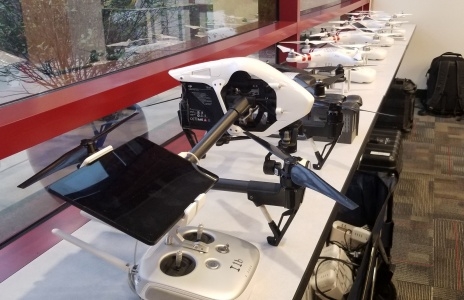
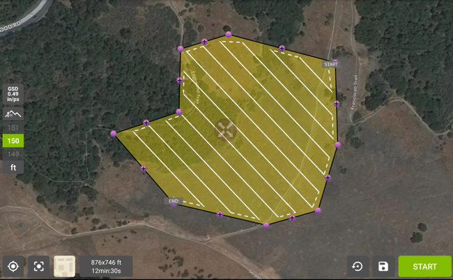
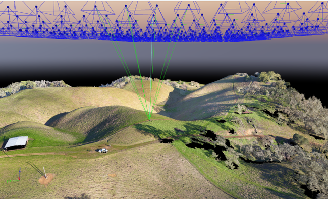
Drones have revolutionized our ability to produce high resolution, spatially accurate images of any area of interest. Drone mapping has become possible due to simultaneous breakthroughs over the past 5 years in multi-rotor drone platforms, navigation systems, lightweight sensors, autonomous flight planning apps, and photogrammetry software. It is now easier than ever to generate stunning, highly accurate 2D and 3D models of an area, on demand. Despite the technological progress, the learning curve for drone mapping is steep, and mistakes can be costly. DroneCamp covers the entire workflow including hardware selection, compliance with FAA regulations, mission planning, manual flight operations, emergency procedures, data management, stitching images together, quality assessment, and data analysis.
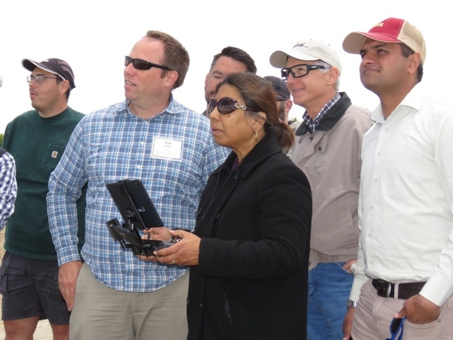
Scholarship applications are now open and will continue through June 6. If you or your organization would like to help a deserving student, non-profit, or under-represented community get up to speed on this amazing technology, please consider making a donation to the DroneCamp Scholarship Program!
