
eBee X Training
Raleigh, North Carolina
I headed to North Carolina with members of the California Heartbeat Initiative (CHI) last month for formal training on using their eBee X - Sensefly's newest fixed wing drone capable of high-resolution 3D, multispectral and, recently, thermal mapping.
The Crew
The CHI team included Becca Fenwick, Kelly Easterday, James Norris and a few external partners, Jacob Flanagan (Informatics and GIS) and Greg Crutsinger (Scholar Farms).
|
|
|
|
|
|
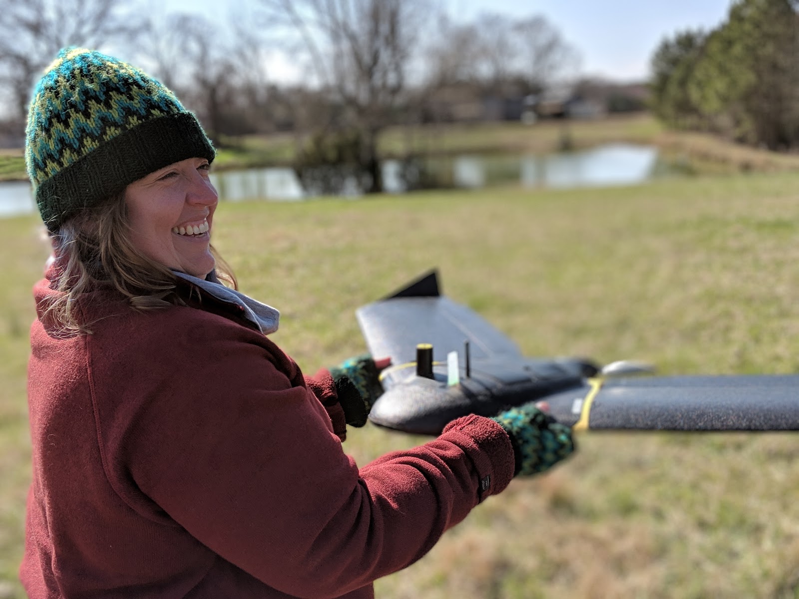


The Hardware
The Sensefly eBee is a fixed wing drone designed for mapping. In the past, fixed wings were a bit involved and usually required a well experienced pilot. Even with today's automation, this sort of drone can be discomforting for beginners where launching involves slinging it and every landing is a crash landing (eBee and similar) that require a loads of space because it's constantly having to move forward. In contrast, rotary drones like the DJI Phantom can do this from a single point and hover in place.
However, the eBee is one of the more intuitive fixed wing drone we've come by; it's automation abilities surpass even most rotary drones. It does require some initial mission planning, however, given their software's 3d interactivity and built in simulator, it's easy, comforting and, dare I say, fun?! The same is true about the launching and landing - for launch, it's a relatively low effort push forward. The landing is designed on the field laptop, can be aborted anytime and readjustable in real time (landing does require some runway, ideally soft i.e., grass. It is the trickiest bit). Just to further argue how automated and easy to use they are, our eBee did not come with controllers.
The Training
Matt and Daniel were our trainers from Sensefly - a Veteran affiliated with Google X and a GIS/Computer Scientist, respectively. They were well versed and covered the ins and outs of the system, including the software, mission planning, launching and landing and drone piloting (person managing the mission software is considered pilot). While not necessary, this training ensures we understood of every element of the drone's components, software options and became comfortable with it's operation.
Long Term Plan
CHI is looking to use drones for all sorts of remote sensing, mapping 3D, thermal and multispectral. This sort of information will be used to drive hydrological and other environmental models all part of the bigger picture of understanding increasing uncertain climate of tomorrow. For IGIS, this is another step in staying on top of this every growing technology.