

June 24-28, 2024
CSU Monterey Bay
(plus virtual open)
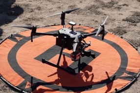
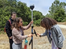
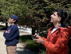
DroneCamp is a premiere five-day training program that covers everything you need to know to use drones for mapping and data collection.
Curriculum at a Glance
- equipment
- safety & regulations
- flight planning
- manual & autonomous flight
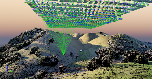
- photogrammetry
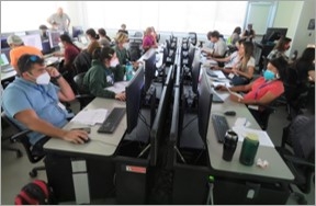
- hands-on data processing with Pix4D, OpenDroneMap & ArcGIS Pro
- data analysis & visualization
- research talks & use cases
- educator track - new for 2024!
Now in its eighth year, Drone Camp 2024 will once again provide a unique drone training opportunity designed for a wide range of skill levels and interests, from complete beginners with little to no experience in drone technology, to intermediate users who want to learn more advanced data processing and analysis.
DroneCamp started out as an IGIS workshop, but has evolved into a highly collaborative program with instructors coming from 8 campuses including UC ANR, UC Merced, UC Santa Cruz, CSU Monterey Bay, UC Davis, UC Berkeley, UC Santa Barbara, Lakeland College, and American River College.
DroneCamp 2024 will be held in-person at CSU Monterey Bay June 24-28, 2024. Scholarships to cover the registration fee are available for all ANR academics and staff - but you must apply soon! More info available at DroneCampCA.org.
 |
 |
 |
 |