Introduction to ArcGIS Field Maps, November 5, 2021
University of California, Division of Agriculture and Natural Resources
A Zoom Workshop
Friday, November 5th, 2021, from 1:00pm to 4:00pm
Click Here to Register
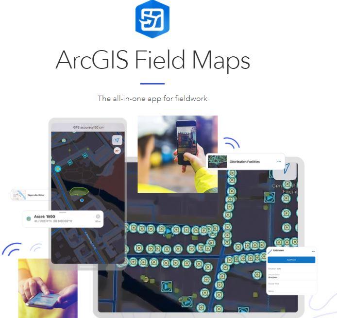
Goal: Provide an overview of mobile data collection tools with an emphasis on ArcGIS's new Field Maps app, as it integrates with ArcGIS Online for web-based mapping, to support UC Cooperative Extension affiliates, including UC students and public and private resource professionals.
Workshop Content: This workshop is designed for participants with little to no mobile data collection, GIS or web mapping experience. Following a brief lecture, the workshop will include an interactive exercise that will have you creating, managing, and loading map features paired with attribute survey questions. This exercise will conclude with you exploring the various options for publishing your field data using ArcGIS Online.
Requirements: Participants must have ArcGIS Field Maps installed on their mobile device and an ArcGIS Online account set up prior to the workshop.
ArcGIS Online - ArcGIS Field Maps can be easily downloaded and installed on your device from your respective app store, and information for accessing ArcGIS Online will be e-mailed to you before the event. UC ANR affiliated participants will be set up with a free enterprise account through the IGIS Statewide Program. Non-ANR affiliates can sign up for a trial ArcGIS Online account by Clicking Here or sign up for a free ArcGIS Online Developers account by Clicking Here. Please login to the account in advance of the workshop to ensure that it is properly set up before the workshop date.
If you do not receive an e-mail or have technical issues with your account, please e-mail your question(s) to Shane Feirer at stfeirer@ucanr.edu.
Audience: UC Cooperative Extension Advisors
and Specialists, as well as UC students and public and private resource professionals.
When & Where: November 5th, 2021, from 1pm to 4:00pm
This is a virtual workshop. You will receive a Zoom link via email prior to the training day.
Cost: This is a free workshop.
Register:
Click here to register. Note - This event may reach capacity, after which a waiting list will be created.
Registration priority will be given to UC ANR and AIFS affiliates.


This course content is the result of a collaborative effort between UC ANR IGIS Statewide Program, the USDA-NIFA/NSF AI Institute for Next Generation Food Systems (AIFS), and the UC Berkeley Geospatial Innovation Facility (GIF).
For information regarding other upcoming IGIS workshops, please see IGIS training or contact Sean Hogan at sdhogan@ucanr.edu


