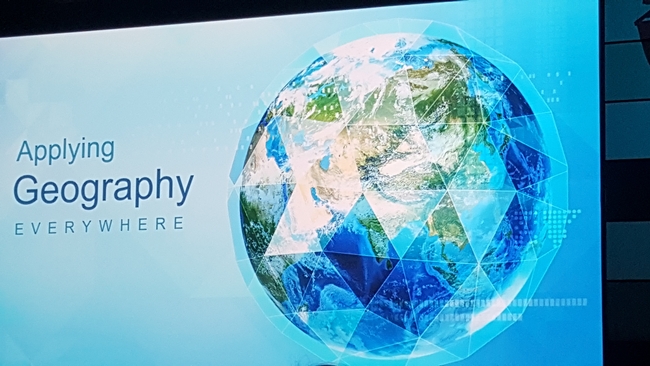
The second day of the 2015 ESRI User Conference in San Diego has officially come to a close, and what a great day it was. Wherein the first day featured the shock and awe of key note speakers and plenary presentations, the second day consisted of a vast assortment of exhibits and specialized break-out sessions.
Much like the first day, we saw a huge push towards the new ArcGIS Professional platform. As soon as they work out some of the bugs that occasionally cause it to crash, it should be an amazing leap forward in terms of making GIS work flows more efficient. Nonetheless, sorry longtime ArcGIS users, most of the buttons and leavers in the new Pro version are in different locations and will make it feel like you are learning a whole new program from scratch. That said, for first time GIS users, ArcGIS Pro's Windows-like interface will probably be more intuitive than the old ArcGIS desktop environment.
Other highlights of the convention include a large assortment of exciting new apps that ESRI has either recently released or are putting out soon. Among these are some of its new mobile data collection apps, such as Collector (for field collections of points lines and polygons), Survey 123 (for conditional geospatial survey questions), as well as software development kits (SDKs) to create your own custom mobile applications. These, in addition to ESRI's other new apps, fully integrate with ArcGIS online and ArcGIS for Server, to facilitate enterprise database operations and maximize data collections for organizations.
Other exciting developments include the soon to be released ArcGIS Earth application, and the growing number of templates and analytical tools currently available through the ArcGIS Online platform. The ArcGIS Earth app looks remarkably like Google Earth, however it will instead include the rich pool of ESRI's online data, while at the same time allowing you to represent your own data in stunning 3D.
Attached Images:
