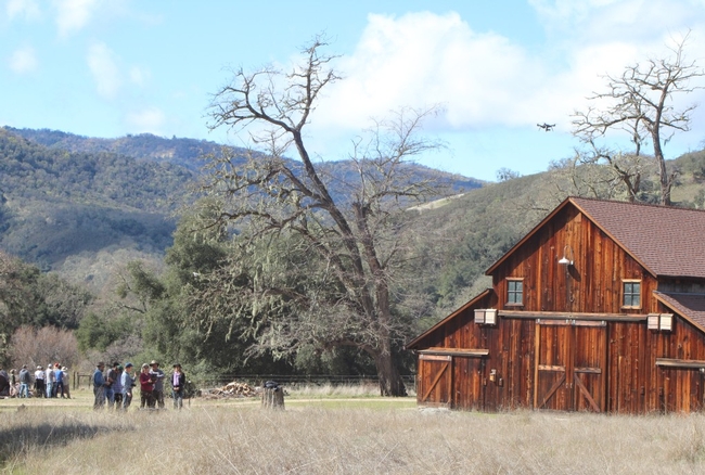
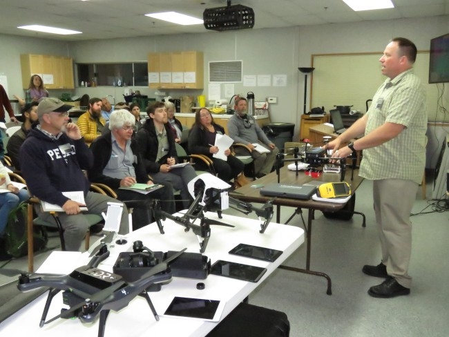
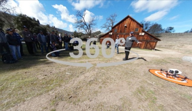
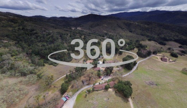
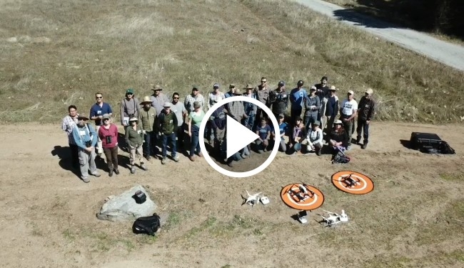
Last week at the Hasting Natural Reserve in Monterey County, IGIS joined forces with The Wildlife Society Western Section for a workshop on drone mapping for wildlife biologists. Over three days, 25 participants learned about drone technology, the science behind mapping with drones, regulations at both the federal and state levels, flight operations, data processing and analysis, and 360 drone photography. The workshop was hugely successful.
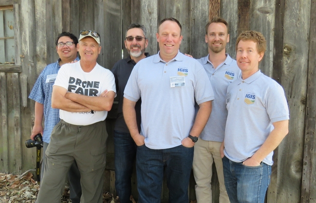
The workshop once again proved the value of collaboration. The Hastings Natural History Reservation, a UC Berkeley field station under the UC Natural Reserve System, was a superb location for the workshop, and Resident Director Vince Voegeli took good care of us. IGIS team members Sean Hogan, Andy Lyons and Jacob Flanagan, provided the core of the technical material building upon earlier workshops include last year's DroneCamp. Steve Goldman, UAS Coordinator for the California Department of Fish and Wildlife (CDFW) spoke about the use of drones in CDFW including their recently finalized regulatory policies and procedures. Steve Earsom from the US Fish and Wildlife Service recorded a similar presentation for participants. Professor Emeritus David Bird from McGill University educated and entertained the audience with several presentations about UAVs in wildlife research over his long and distinguished career. All of this was put together by TWS Western Section Workshop Coordinator and master planner, Ivan Parr.
We are looking forward to more drone mapping workshops and love the collaborative model that combines institutions, technical backgrounds, and applications. Our next multi-day drone workshop will be another offering of DroneCamp coming this summer. Stay tuned for an announcement in the near future.
