Sep 25, 2023
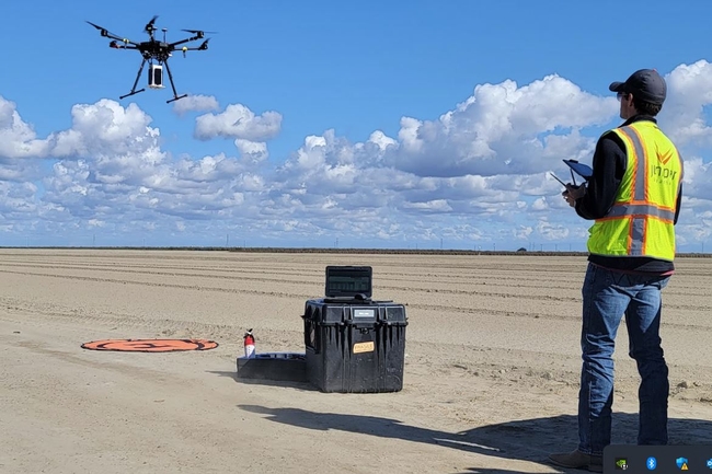
In the past year IGIS has had the pleasure to work with Juniper Unmanned inc. to undertake a proof of concept project interested in mapping cellular broadband speeds at four agricultural sites in the rural Central Valley of California, using a drone equipped to spatially record cellular network speeds for ATT, Verizon and T-Mobile cell phone carriers. Information of this type may be useful for future smart-farming efforts, including allocations of resources and the potential placement of cellular antennas on farms in the future.
For more information, please see the following StoryMap, which reports the project's findings: https://storymaps.arcgis.com/stories/d1f34c829c104c9d9bb0ed4536f39e03
