
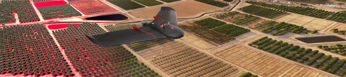
Small unmanned aerial systems (sUAS), also known as drones or unmanned aerial vehicles, have a growing role to play in research and practice for agriculture and natural resources. Recognizing a surge in interest in this area and the potential benefits that this technology could offer to UC ANR affiliated GIS projects, in 2016 IGIS incorporated drone services into the portfolio of support that it offers to UC ANR and its affiliates. This initially included a period of testing for the limitations of UAS data collection, and to build a working knowledge of all aspects of operations, regulations, and data processing. Since first adopting drones as a geospatial technology resource, IGIS has purchased a small fleet of professional grade fixed wing and quad-copter platforms, outfitted with RGB, multispectral and thermal sensors, and utilizing this equipment has been engaged in dozens of projects focused on range, crop, forest and desert research. IGIS has also developed a workshop curriculum around UAS technology, regulations and data processing, which is open to members of the UC system as well as the public.
To submit a drone service request, please use the link below and complete the application. We will then contact you to discuss whether or not we can accommodate your request, given the increasing volume of drone service calls we now are receiving.
Drone Service Request Form
How much does help from the IGIS with Drone Services cost?
If IGIS helps you with your project you will be billed based on our approved recharge rate. The rate can be view at the following link.